The amazing beaches of Venice
Yes, the Venice Beaches we are going to talk about are in Venice, Italy.
If you doubt they are anything noteworthy, we’re happy to shock you with one simple stat:
If we count only sand beaches, Venice has 84 kilometres of them!
In other words, you could run 2 whole marathons from one end to the other.
Hard to believe, right? Well, let us tell you more about them!
Venice as a beach destination
We all know Venice primarily as an exceptionally beautiful historical city filled with arts, canals, bridges and gondolas. That, of course, will always be Venice’s primary appeal.
However, the whole area of Venice has a lot to offer. And beaches surely are one of its greatest strengths. Moreover, if we consider the whole so-called metropolitan area of Venice, the offering of its beaches has no limits.
Free beaches, WWF natural reserves and EU Sites of Community Importance, family beaches, jet-set beaches, dog beaches, 5-stars camping sites, the world’s longest shopping street and the best-managed night-life destination in Italy, the once-tallest in the world water slide, and so much more.
To be fair, while many people who come to Venice ignore that there are just so many beaches nearby, they definitely are very well known by vacationers:
Venice and Cavallino-Treporti, Jesolo, San Michele al Tagliamento and Caorle are respectively the 3rd, 6th, 7th, 8th and 9th most visited places in Italy!
And that’s for a good reason: everywhere on the coast, the beaches and the sea are very clean and safe.
A number of beaches are also awarded, year after year, the “Blue Flag”, an international award that requires meeting and maintaining a series of stringent environmental, educational, safety, and accessibility criteria: Jesolo, Cavallino Treporti, San Michele al Tagliamento, Lido di Venezia, Eraclea, Sottomarina, Brussa, Duna Verde, Levante, Ponente, Porto Santa Margherita.
As you can see, an article on beaches in Venice is necessary to guide you through the many possibilities.
We’ll divide the beaches into two main categories: those that are closest to Venice and part of the “Comune di Venezia”, the Municipality of Venice, and those a bit farther away and are part of the wider area of the “Comune Metropolitano di Venezia”, the metropolitan area of Venice.
Beaches of Venice, Italy
When we say Venice, we refer to an area that closely surrounds the city of Venice and comprises Murano, Burano, and Torcello in the Lagoon, Mestre and Marghera on the mainland, and Lido and Pellestrina.
Lido and Pellestrina, two long and narrow islands that separate the Venetian Lagoon from the Adriatic Sea, are where you will find 16,5 km of beautiful beaches.
What’s best is that they are also both very easy, fast, and fun to reach.
To give you an idea, you can be at the closest beach in as little as 20 minutes from Saint Mark’s square, the most famous and visited area of the city.
So, there are no excuses: if it will be very hot when you will be visiting Venice, don’t take off your shirt or jump in the canals. Both things are strictly forbidden and the fine for offenders is massive.
Instead, make sure to hop on a water bus and enjoy some wonderful time on the beaches of Venice.
But which one is the right one for you?
The Beach of the Lido in Venice, Italy
Less than a 15-minutes water bus ride from Saint Mark’s, the island of the Lido is the closest place for Venetians and visitors to hit the beach.
It’s almost unsurprising that, thanks to its proximity to Venice, its long and wide beaches, and the clean and placid waters of the Adriatic, the first beach resort in Europe was opened right at the Lido, in 1857!
Since then, Lido invested in beach tourism and, today, the Lido offers a variety of possibilities, accommodating anyone’s desires and pockets.
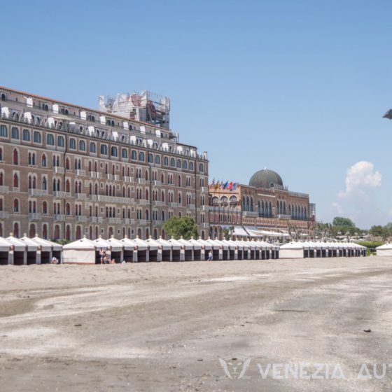
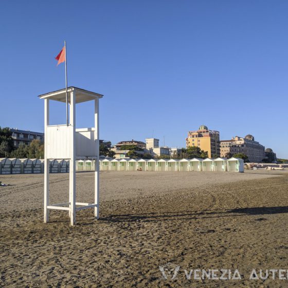
In the northern third of the island, there are free beaches, areas with sun umbrellas, deck chairs, and changing cabins for rent, and resorts where one can rent an entire small hut by the beach for months at a time.
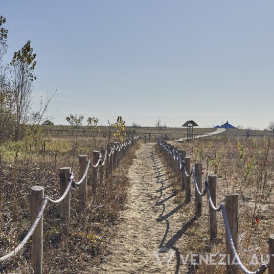
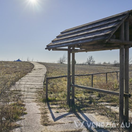
The southern third of the island, less inhabited and wilder, offers a wonderful free beach and is home of a WWF natural reserve which is home to hundreds of species of birds as well as sea turtles and boasts the sand dunes up to 10 meters, the tallest in the northern Adriatic. It comes without saying that such a precious and delicate environment must be respected, right? So, if you want to visit, please do follow the guidelines and do not step outside of the given path when visiting the reserve.
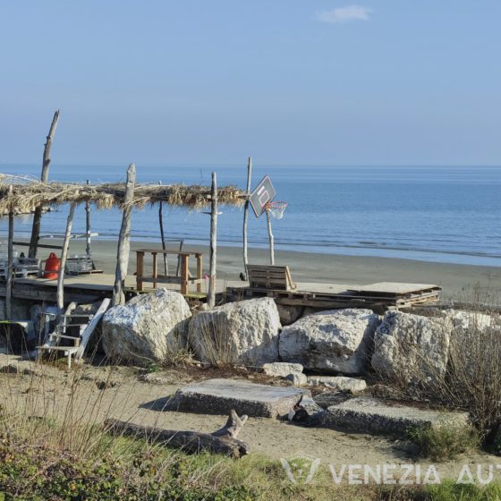
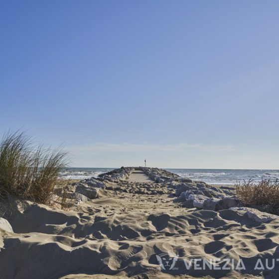
Finally, in the middle of the Lido you will find our beautiful and beloved Murazzi, a 5km long barrier made of gigantic white stones that protect the shore from the sea. There, Venetians love to hang out with their friends, swim, go for a run, or do barbecues. Moreover, some Venetians built artisanal straw and wood huts on the Murazzi and by the small beaches in from of them, where anyone can get shelter from the sun and feel a Robinson Crusoe.
The Beach of Pellestrina
A 29 minutes bus journey from the Lido, Pellestrina is the most remote island in the Venetian Lagoon.
A long and narrow island suspended between the sky and the water, it is home to fisherman and lacemakers… and to the longest beach in the Municipality of Venice: 8,5 KM of sand beaches in front of pristine waters.
And if that is not enough for you, it boasts also one more beach measuring over 1 km that is part of the natural reserve of Ca’ Roman, an area so precious it is protected by international laws as a Site of Community Importance due to its strategic importance for migrating birds as well as fishes.
Unlike the Lido, the beaches of Pellestrina are not the destination of Venetians and tourists. Instead, they are enjoyed mostly by locals and a few of those who cycle on the stunning Lido to Chioggia bicycle lane.
Since Pellestrina is so narrow (from 23 meters to 1,2 km at most in its widest part), you won’t find resorts on Pellestrina. And that is for two very simple reasons: firstly, space would be very limited; secondly, beaches are literally in people’s backyard and locals can go back and forth as much as they please to fetch everything they need!
What is similar to the Lido, for example, are the Murazzi. In Pellestrina, however, this long barrier made of big white stones to protect the island from the sea, is twice as long, measuring a total of 10km!
Beaches of the metropolitan area of Venice, Italy
First of all, what is the Metropolitan Area of Venice? To simplify, we could say that it represents the Province of Venice: a territory of 2.500 square km, about 500 of which are the “Municipality of Venice”
This territory, which comprises most of the 550 square km of the Venetian Lagoon as well as areas on the mainland, is not particularly vast but its peculiar shape gives it very long coastlines.
Looking at the coastline, this area starts from Bibione 63km northeast of Venice and ends in Bacucco, 30km south of Venice… and the overwhelming majority of it is made of neverending fine sand beaches!
As you might expect, this long coast is managed by several towns along its axis. From north to south, the most known are Bibione, Caorle, Eraclea, Jesolo, Cavallino, Ca’ Savio, Punta Sabbioni, (Lido, Malamocco, Alberoni, San Pietro in Volta, Pellestrina, and Ca’ Roman which are all part of the Municipality of Venice), Sottomarina, and Bacucco.
It is possible to reach Venice from all these areas but, from some places, it is much faster than from others. In fact, luckily, there are no highways or big infrastructures which would make connections between the different areas of this delicate environment much faster but would also endanger it.
From Punta Sabbioni, Ca’ Savio, and Cavallino (north of Venice), it is possible to reach Venice in 30 to 45 minutes via bus and water bus. From Jesolo (farther north), Sottomarina and Bacucco (south of Venice) it takes about 1 hour to reach Venice by bus. Caorle and Bibione, at the very north-east, require respectively a whole 2 and 2,5 hours.
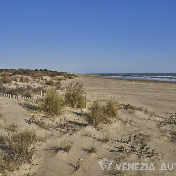
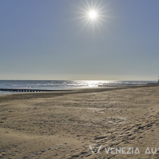
Going back to the beaches, all the stunning 84 km of them are made of fine sand, are clean, and give easy and slow access to the clean and warm waters of the northern Adriatic. By slow access, we mean that you may walk for 100m into the sea and be still able to stand!
Since the sand and sea are, let’s face it, exactly the same throughout the coastline, what are the differences between these destinations?
Let’s start from the farthest up north, Bibione, and slowly move south all the way to Bacucco!
Bibione in Venice, Italy
Bibione, 63 km northeast of Venice, is a small town of just 2.600 inhabitants in the Metropolitan Area of Venice. But don’t let that fool you, Bibione is one of the highest-ranked beaches in Italy in terms of visitors!
That, of course, did not happen suddenly nor by accident. Already in 1956, in fact, Bibione started working to transform itself into a tourist area through the creations of hotels and shops.
But don’t let that fool you into thinking that it’s a chaotic place nor that it may be poorly managed: Bibione has always focused on becoming a beach resort for families and is the first smoke-free area in Italy: smoking is banned from the stretch of beach between the first row of umbrellas and the sea as well as at the lighthouse!
Finally, Bibione also offers thermal baths with therapeutic water extracted from a source at a depth of 400. The water reaches the surface at a temperature of 47° and is, obviously, cooled down before being used.
Caorle in Venice, Italy
Beautiful Caorle offers visitors over 250 hotels, numerous holiday apartments, tourist villages and campsites, and over 18km of beautiful beaches.
If the sea really is your passion, Caorle also offers a thousand berths in its two docks: the Darsena dell’Orologio in Caorle, and Marina 4 in Porto Santa Margherita, for even larger boats.
Before you wonder if a city with so many tourists and structures can be clean and “green” at all, we’re happy to say that the beaches of Caorle have been given the Blue Flag, an Internation award that rewards destinations that are sustainable, clean, and accessible, since 1992!
So, no matter if you’ll chose the Levante and Ponente beaches, Duna Verde, Lido Altanea, Porto Santa Margherita, or Brussa, you just can’t go wrong.
If you’d like to experience more, there are a few possibilities for you:
Firstly, it is possible to explore the unspoiled nature of the Caorle Lagoon in the north through boat excursions. There, between the valleys and the salt marshes are the Casoni, typical buildings used in the past by fishermen during the fishing period.
But Caorle, also offers a fine historic centre, with its colourful houses distributed among streets and squares, and its ancient cathedral and cylindrical bell tower from 1038!
In particular, the age and shape of the bell tower and its conic roof make it the only one of its kind in the whole world!
If you’re surprised that Caorle is that old, let us tell you that recent findings have brought to light the remains in Caorle of an ancient settlement, dating back to the late Bronze Age! Not bad, right?
Eraclea in Venice, Italy
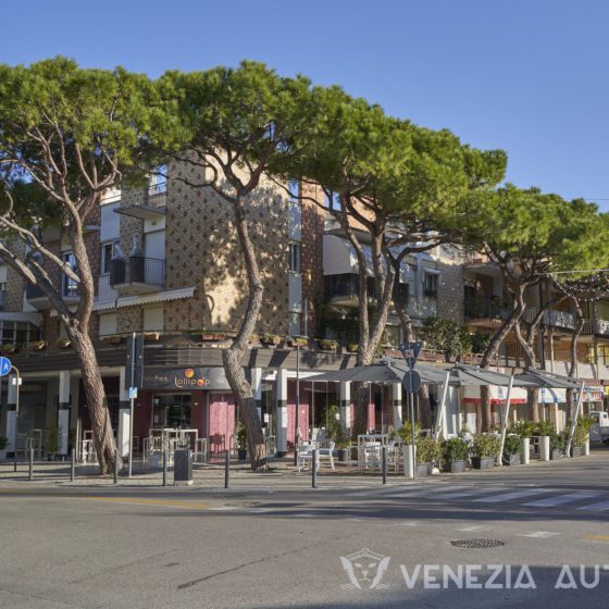
The beach of the city of Eraclea, known as Eracleamare is characterized by its own Lagoon, the Laguna del Mort, and a maritime pine forest.
Just like other beaches in the metropolitan area of Venice, also Eraclea can boast of being awarded the Blue Flag every year since 2007 for the quality of its bathing, the services on the coast, and its sustainability.
In particular, it’s worth noting that Eracleamare was the first Italian tourist resort to organize daily door to door garbage collection since 2006. Moreover, in 2011 Eraclea certified its beach through the EMAS (Eco-Management and Audit Scheme): an environmental quality mark introduced by the European Community to improve efficiency and environmental performance, thus implementing sustainable economic development.
Eraclea’s attention to the environment is forward-thinking and projects the city into the future, but its origins date to thousands of years ago.
The name Eraclea, for instance, which was given to the city only in 1950, dates all the way back to Roman times. It is the name of an ancient Roman-Byzantine city, Eraclea, whose remains are located farther inland
Of course, Eraclea soon became part of the Venetian territory and it became an important commercial centre in the upper Adriatic area. That lasted until the 12th century when a flood changed the local environment and the area became swampy and malarial: the city was soon abandoned.
Only five centuries later, in the 17th century, was the current town founded, close to the ancient Eraclea. Over the centuries, the swampland was slowly drained, and the area became safer, but only until WWI.
During the first world war, dams and embankments were blown up by the Italian army during its retreat and, similarly, so was done to the remaining dams by the Austrian army on its final retreat at the end of the war. Eraclea was, again, a swampland.
Since then, works were done to reclaim once more the swamps and pines were planted to reinforce sandy hills and preserve them from the erosion of the wind and storm surges.
And today, the pine trees still exist and are the peculiarity that makes Eracleamare stand out!
Jesolo in Venice, Italy
Apart for its 15km long sandy beaches and its clean waters, Jesolo is known by Venetians, Veneti, and millions of young tourists as a great party place close to Venice!
Indeed, with just 26,000 inhabits, the city was built to accommodate another 140,000 tourists and, in peak years, hosts as many as 6 million visitors, most coming during the summer.
Just like Bibione, however, this popularity and appeal was not an accident. In the second half of the nineties, the local administration launched a program to attract tourism and stimulate the local economy. This program, known as the “Master Plan” was carried out by Japanese superstar architect and urbanist Kenzō Tange (his works include the Museum of Peace, built in Hiroshima after WWII), and soon attracted the interest and works of other archistars.
The master plan envisioned towers to provide the city with vertical urbanization as well as the creation of a shopping area: the latter was achieved by creating a trade route that stretches for 13 kilometres, the longest shopping street in the world, populated by over 1200 shops, restaurants, bars and trendy clubs.
And clubs, indeed, are one of the things Jesolo is famous for, as well as for its “crazy” but safe nightlife that makes it so popular amongst the youth of much of Europe
As if sandy beaches, a clean sea, signature buildings, clubs, nightlife and the longest shopping street were not enough, Jesolo also offers the best water park in Italy. Its biggest water slide, which used to be the highest in the world, makes you reach a speed of 100km/h… if you dare try it.
However, Jesolo has also cultural attractions: the amazing Civic Museum of Natural History of Jesolo.
This 6.000 square meter Museum and Park houses the biggest collection in Italy of life-size models of extinct animals. There are hundreds of reconstructions, from the Tyrannosaurus Rex up to the mammoth, the cave bear, the woolly rhinoceros, the smilodon, and many others. There is, of course, also an impressive section with dozens of reconstructions of hominids, from Lucy to Neanderthals. Finally, the section of birds displays rarities such as the Moa, the Dodo, and the Archeopteryx.
While not as old as the animals in the museums, Jesolo is of ancient origins, too.
The ancient name of Jesolo was Equilium, the city of horses. It probably referred to the horse breeding for which the ancient Venetians were famous. It is thought that today’s name, Jesolo, derives as a transcription error over time.
But what are its origins? After the fall of the Western Roman Empire, barbarian invasions in Italy brought citizens from nearby areas to flee their city and settle in and around the Lagoon and re-organize: when the Duchy of Venice, future Republic of Venice, was founded, Equilio was one of the founding cities!
Cavallino-Treporti in Venice, Italy
Cavallino-Treporti’s economy is mainly based on summer tourism. With over 6 million presences per year, Cavallino-Treporti is the sixth most visited place in Italy, second if we look only at seaside resorts.
In this case, too, the success is not an accident but was, instead, carefully planned. The total number of tourists in a destination is calculated as the sum of the daily number of tourists: in other words, 1 person staying for 10 nights counts as much as 10 people staying only 1 night. That makes sense for the destination in economic terms, as the numbers of night booked and meals consumed is exactly the same.
With this in mind, Cavallino-Treporti has invested in medium to long term tourism, leveraging its long sandy beaches and clean waters to create several camping sites.
Today, there are about 30 camping villages of all sizes of medium to high level, including a 5-star camping site, which welcome guests that stay from weeks to several months at a time, as is the case of pensioners from the centre and north of Europe
The hotels, on the other hand, are few and of limited size.
One more strength of Cavallino-Treporti is its proximity to Venice and the islands of the Venetian Lagoon. Burano, for example, can be reached in just 15 minutes via water bus, and Saint Mark’s can be reached in just 1h.
Finally, Cavallino-Treporti, too, has been awarded the “Blue Flag” every year since 2006, an international award that is assigned to tourist seaside resorts that stand out for the cleanliness of their bathing waters, for the quality of the services offered and for the respect and management of the environment.
Sottomarina in Venice, Italy
If you’d like to have fun and be close to a town with a great history that looks like a small and very lively version of Venice, Sottomarina next to Chioggia is a great choice!
Sottomarina is connected directly to Chioggia and its beautiful 5km beach of fine sand can be reached in just under 15 minutes, by foot!
On the beach, there are numerous bathing establishments, as well as refreshment points, restaurants, pizzerias, water parks, amusement parks and dance halls.
Historically, Sottomarina and Chioggia have always been connected, today through modern bridges and in the past through a pontoon bridge, but they had different vocations: Chioggia dedicated itself to producing salt, one of the most precious currencies in old times, while Sottomarina has been farming its “vast” lands.
Today, this difference still exists, although with different industries: Sottomarina attracting beach-goers from a vast area of the Veneto Region and Chioggia thriving with the second biggest fish market in Italy and, of course, tourism too.
What is handy is that you can get both of the two worlds, Sottomarina and Chioggia, in just a 15 minutes walk… and Venice is just a 1h bus ride away or, why not, you could also get there by bike!

